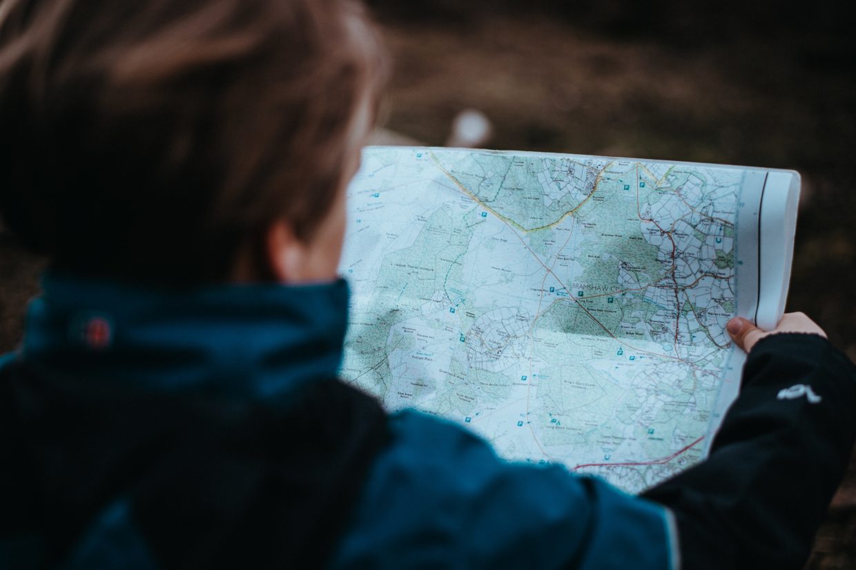
These past two weeks, I wasn’t able to get out on to the trail. My partner’s truck is getting a new engine, so it is unable to run right now. However, I have been wanting to be able to start learning how to read maps. For this post, I will be using a lot of resources to teach myself how to read a map.
To begin learning, I did what any person in 2020 would do, look up a YouTube tutorial! The video below is what I watched to begin my learning.
I actually skipped to 2:20 because I obviously don’t have the fancy compass that this guy does. But, I do have a handy dandy iPhone compass! The compass app on the iPhone actually works without needing an internet or cell connection. This is good to know, because my Apple Maps app, or Google Maps app on my phone does not work without service.
I followed the video, and learned first off that you have to orientate your map so that north on your compass is pointing towards north on the map. It is important to note that you must have you compass calibrated properly, otherwise it will point you in the wrong direction!
If you’re trying to get to a certain point on your map, you can draw a line from where you are to where you want to go, and find the degree (or azimuth) that you need to go. You can then head out towards the direction, while keeping your compass aimed at the correct angle.
Another thing that I have learned, not just from the video, but being out on the trails, is that features on a map can really help. You might be somewhere and have no idea where you are, but if you can look at your surroundings, such as a mountain, lake or river, you can point them out on your map to give you a rough idea of where you are. We actually had to do this once when we were in Tofino. We used our off-road map book, which I have attached an image of below, to see that we were near an inlet. We then gathered that we were sort of near where we wanted to go. We used the reference of being near the inlet on the map to follow the direction of the waterfall that was on the map, where we wanted to go.
- The off-road map book we use during trips
- The map we used in Tofino, note our markings on the left side
We always try to remember to bring this map book with us when we go off-roading. Normally, we have a pretty good sense of where we want to go and how to get back to a main road. Although, you never know what could happen or go wrong. It’s always good to be prepared and carry the necessary items to help you get out of tricky situations. Below is an image of the pages that we use from the map book when we go on our regular Sooke/Jordan River trips.

Map we use when we go to Sooke or Jordan River
This concludes my post for this week. Hopefully I’ll be able to get back to the trail soon! I definitely need a break in nature from all the school work! In the mean time, below is a GIF I created using a video from an old off-roading trip. Thanks to Aaron’s message in the “Tech Help” channel on Mattermost, I was able to create a GIF straight from my camera roll using the “Shorcuts” app on my phone! I figured since this week’s class theme was graphic design, why not include a GIF!

Video from the last Tugwell Lake trip!


